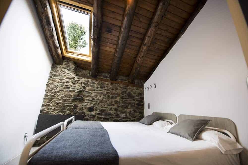
Day 1. From Escaldes-Engordany to Illa Hut
The organization will arrange the meeting pointto take you to the starting point.
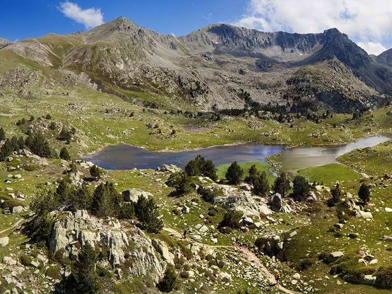
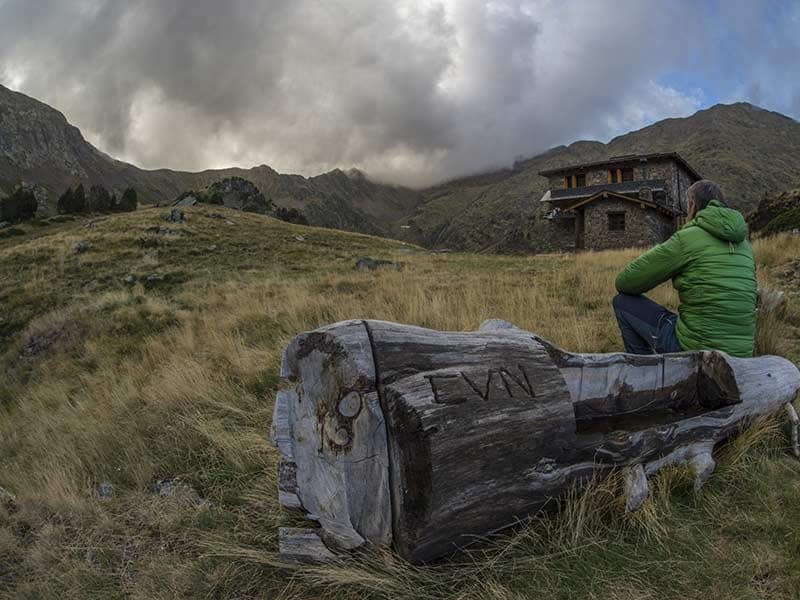
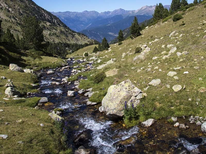
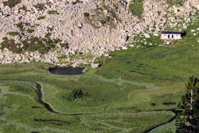
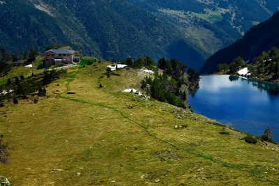
Starting from the Tosca Bridge, the GR7 will take you to the valley of Madriu-Perafita-Claror, which has been recognized by UNESCO as a World Heritage Site since 2004. You will pass through Entremesaigües, Ràmio, and Fontverd and Riu dels Orris huts. With some luck, and depending on the time of year, in the area between these two huts you can see wild boars, mouflons, chamois and marmots. The trail will take you to the first lakes, including the Bova Lake, the Rodo Lake and the Forcats lakes, which you reach just before reaching the Illa hut (2,488 meters above sea level).
Stage of medium difficulty, 12.6km, with a heightdifference of 1,473 / -40 m and an approximate duration of 6h30 / 7h.
Day 2. Lakes. From l’Illa to Juclà refuge
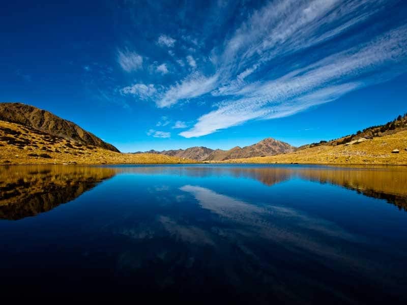
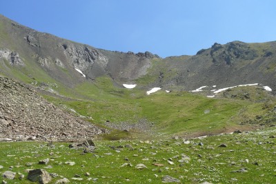
Leaving the Illa hut, you will ascend to the Collada de Pessons col (2,810 meters) from where you can see the Pessons cirque,in which there are over 12 lakes.
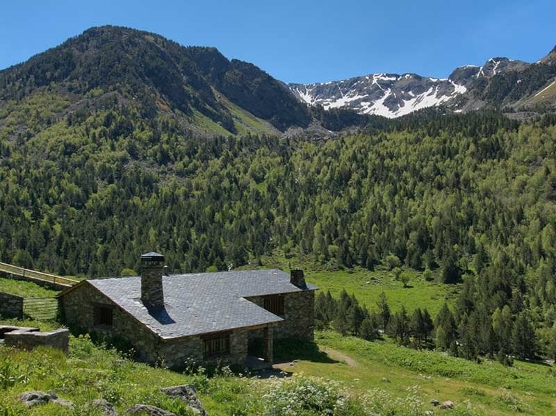
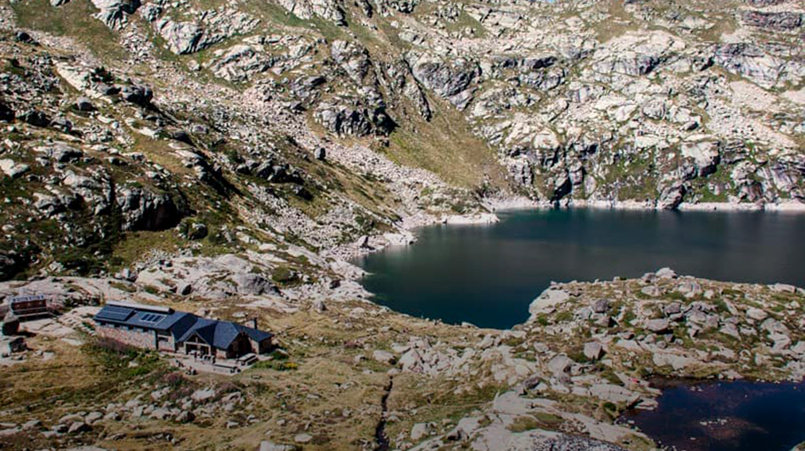
Then, you will descend to the Pla de les Pedres refuge and continue down to Les Bordes d’Envalira (where you can buy supplies if needed). You will then ascend to Port Dret, from where you will enjoy beautiful views of Andorra and France, and Soldeu and the Siscaró valleys. Afterwards, you will descend to the Siscaró hut to follow the path that takes you to the Juclà hut(2,310m) next to Lake Juclà (the largest natural lake in Andorra).
Stage of medium difficulty of 19.4km, with a height difference of 1,350 / -1,527m and an approximate duration of 10h30 / 11h.
Day 3. Touching the sky. From Juclà to the Sorteny refuge
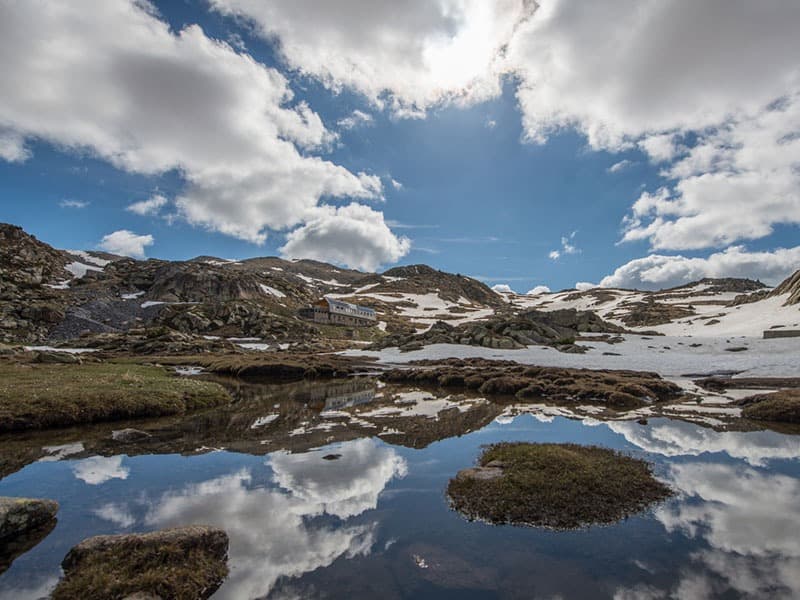
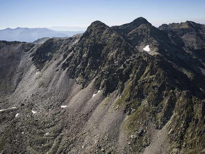
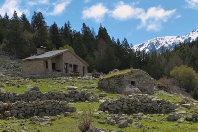
Departure from Juclà hutto head towards Cabana Sorda lake and hut, 2,295 meters above sea level. From here, the route continues up towards the Serra de la Cabana Sorda, between the peak of Coma de Varilles and Tossa de Caraup. At the end of the climb, enjoy the views at 2,600 meters and continue to the refuge of Coms de Jan in the Ransol Valley. Then, an ascent to the Meners pass, nestled between two of the highest peaks in Andorra: the Serrera peak and the Estanyó peak. Going down the hill towards the Sorteny hut (1.965m) you will cross ferruginous terrain, evidence of the iron and steel past of the area.
Medium difficulty stage of 16.9km, with a height difference of 1,425 / -1.771m and an approximate duration of 10h15 / 11h.
Day 4. The longest and toughest stage, which will take you to the foot of the highest peak in the country, Comapedrosa
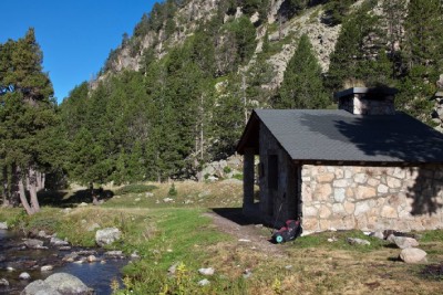
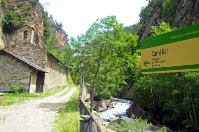
After spending the night in the Sorteny hut, you follow the Cami Ral from El Serrat to Llorts. The route passes Les Salines, where you will see the trout farmthat supplies the Principality of Andorra. After the placid descent, a short but hard climb to the Clot del Cavall will take you to the Natural Park of the valleys of Comapedrosa, via the hutand lake of L’Angonella.
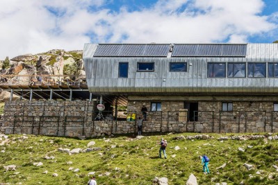
You will then go down to Les Fonts hut and Pla de l’Estany, to reach the foot of Comapedrosa (2,942 meters), the highest peak in Andorra. You will follow the route to Aigüesjuntes and the road of l’Obaga d’Els Aspres, which will take you to the Comapedrosa hut (2,265m) where you will spend the night, not before enjoying landscapes which will remain with you forever.
Stage of medium difficulty of 21.9km, with a height difference of 1.904 / -1.608m and an approximate duration of 11h30 / 12h.
Day 5. Closing the circle: from the hut of Comapedrosa to Escaldes-Engordany
The last stage! You will start walking up tothe Portella de Sanfons, touching the border with Spain, a point with stunning views of the Aneto peak.
Follow the route to the Port Vell, Port Negre and Coll de la Botella, to continue towards the Muntaner pass. From there you will see the valley of Os de Civís (Spain) in the distance.
You will start the descent through the Cortals de Sispony until you reach the village, where, if you wish, you can visit the Casa Rull museum and enjoy the typical Andorran mountain architecture. Taking the road to La Grella, you will cross the Muntaner river and follow the path of Birren to the Camí Ral. From here, a descent without difficulty will take you to the Rec del Solà. Upon reaching Sant Ermengol school, you will cross its playground to continue along a stone path that will lead you to the Pont dels Escalls, right in the center of the city. Head towards Caldea to get to the starting point of this circular trek.
Our receptive will be waiting for you there, to drive you to your hotel, to the bus station….
Medium difficulty stage of 21.4km, with a height difference of+716/-1,922m and an approximate duration of 9h / 9h30.
The duration of each stage is indicative and it will depend on the physical fitness of each person, as well as the stops made on the route.
Download here the sales conditions.
Check the conditions and purchase your travel Insurance here
€ 420 per person based on a group of 6 people, without guide.
€ 650 per person in program with high mountain guide, based on a group of 6 people (maximum 6 people per guide)